Safe Speed Neighbourhoods Submission
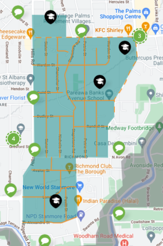
From Christchurch City Council: Safe speed neighbourhoods
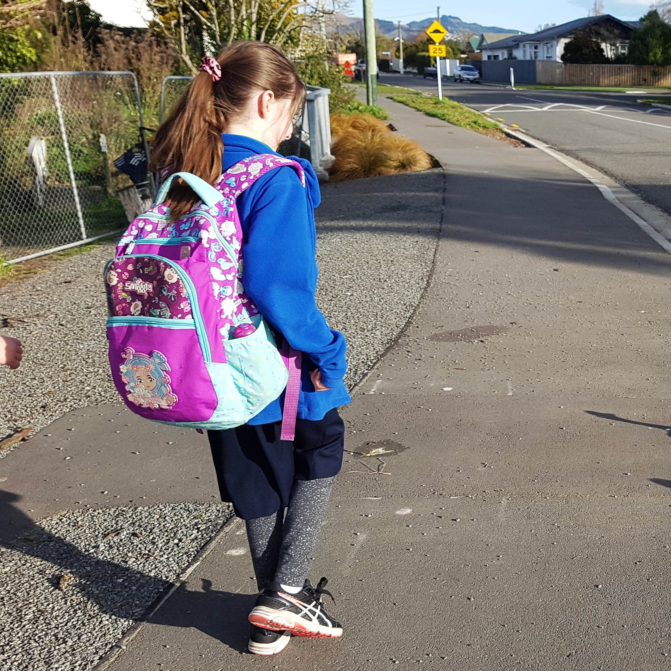
We’re making it safer around all schools and surrounding neighbourhoods.
Whether you’re visiting whanau and friends, letting tamariki walk, scoot or bike to school or driving to work and home again, you should be able to do it safely.

The safe speed neighbourhood programme is part of an integrated national road safety strategy. Christchurch is adopting an area-based approach to changing speed limits to provide more consistency in communities, settlements and around schools. This approach also helps drivers know when they’re travelling in a safe speed area.
What we’re doing
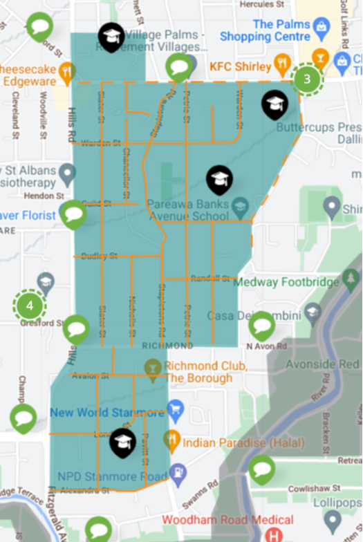
We’re planning to reduce speeds from 50km/h to 30km/h around schools or 40km/h in neighbourhood streets, and Banks Peninsula settlements and roads, especially those around schools.
Streets and neighbourhoods around schools have been prioritised to make it safer for children to get to and from school.
We’re starting with the areas shown on the interactive map, with safe speeds rolling out on more streets over the next ten years, as funding allows.
Before any changes are made towards making Christchurch and Banks Peninsula safer and easier to get around, we’re keen to hear if there is anything we need to know.
—————————————————————————————————–
November 2022
Response from the Richmond Residents’ and Business Association
- This Association agrees in principle with the desired outcomes to be gained by adopting the suggested strategy in the Richmond area.
- This Association also agrees with the suggested speed restrictions indicated on the website map.
- This Association submits that the following streets should be included in the 30 k.p.h. zone:
- All streets to the east of North Parade to the Avon River – Poulton Ave, Bank Avenue, Medway Street, Aldersley Street, Kershaw Place, North Avon Rd from No.145 to the river, Flesher Avenue, Woodchester Ave.
- All streets in the area bounded by North Avon Road, Stanmore Road and River Road – Flesher Avenue, Evelyn Couzins Ave, Tweed Street, Forth Street, Warwick Street, Vogel Street, Swanns Road, Sydal Place, Sorensons Place and Gowerton Place.
- All streets in the area bounded by Alexandra Street, Fitzgerald Avenue and River Road – Heywood Terrace, Harvey terrace and Draper Street.
- It should be noted that all the streets listed above are similar in construction in terms of width, traffic flow, safety considerations, residential densities, etc. Therefore, to achieve uniformity in the implementation of the 30 k.p.h. restriction zone these streets should be included in the restricted zone.
The Association submits that the streets listed above are no different from those already included in terms of street width, accessibility, safety concerns and traffic flows.
- We also suggest that retaining the 50 k.p.h. on Stanmore Road may compromise the safety of vehicle users, pedestrians and users of other forms of traffic and that a reduction to 30 or 40 k.p.h. should be considered. Factors to be considered are:
- The density of traffic flows at peak hours and other busy periods during all days of the week.
- The traffic and pedestrian volume and flow at major landmarks (eg. New World Supermarket, Richmond Club, NPD petrol station especially when petrol price reduction specials are offered).
- The lack of clear vision for vehicles exiting any of the side roads on to or crossing Stanmore Road.
- The presence of two pedestrian crossings, one set of traffic lights and a safety crossing zone inhibits traffic flow which leads to traffic travelling faster between those safety areas thus increasing the risk of an accident.
- The volume of young cyclists crossing Stanmore Rd at Draper St and Swanns Road often at peak hours as travel between their schools and the rowing clubs at the head of Kerrs Reach.
- A proposal being prepared by this Association now to work with the City Council Urban Planning Group may lead to minor street modifications which could impact on the ability of traffic to travel safely at 50 k.p.h. on this street.
In general terms the implementation of the new speed limits would fit well with the current traffic improvement initiatives in Richmond – the north Richmond Road Repair Programme begun in 2019, and the development of a Cycle Safety Route across Richmond from the Palms to the River at Fitzgerald Avenue. A reduced speed limit in Stanmore Road would also be a factor in impending discussions we plan to have with the Urban Planning group at Council which will be aimed at upgrading and revitalising the Stanmore Road precinct.
WE ARE RICHMOND
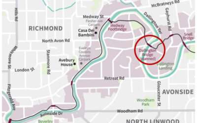
Dallington Bridge notice
Information around the new bridge being built as part of the City to Sea pathway. This is due to start on site end of April.
Petrie Park Mural Painting Event 3
Our second Petrie Park mural painting day with the community was a success, and even the dogs came along!
Final Roadworks Update for Nicholls Street 30
As we approach the final stage of the project, Higgins would like to take a moment to express our sincere gratitude for your patience, understanding, and support throughout the entire process. We know that the disruptions and delays were not always easy, and we truly...
